Barry Docks to Penarth Marina

Barry Docks to Penarth Marina
It was Easter weekend and we stayed local to avoid traffic. We started opposite the household waste centre in Barry, at Hayes point, on the edge of an exposed industrial area but walking through a gap in the verge we found ourselves on rocks at the top of a beach. High tide was recent, and the sea was lapping not too far away.
No-one else was near as we made our way east and looked back over the grey Bristol Channel towards Nell’s point in Barry, which with Friars point creates the sandy Whitmore Bay. Although it was cloudy the sun was peeping through small patches of blue sky and glinting on the sea. We passed the new flats at Hayes point and Ty Hafan children’s hospice, the latter being easy to spot with the colourful dog sculptures on the side of the building facing the sea.
At Sully the famous dinosaur footprints were away from the footpath. Before long the line of bungalows that skirt the beach were in sight and the day was getting brighter by the minute. A Millenium plaque presented by the W.I. to the left of the path helpfully oriented us and showed the directions of many places in the area such as Cardiff, Llancarfan, Steep Holme, Burnham on sea and Flat Holme.
We passed the open spaces around Sully sports and social club and then had to head inland to get around a caravan park. Our return to the coast was the muddiest stretch of the day but at least it was soft underfoot. As we returned to the coast Sully island came into view and we could see people on its beach who must have been out there for some hours and possibly overnight – we guessed they were fishermen. The temptations of the café and the Captain’s Wife public house were safely passed as we continued.
Lavernock point beckoned with the 20-acre nature reserve which surrounds a second world war anti-aircraft gun battery complex. A variety of plants and butterflies thrive here and Lavernock is a good place to observe migrating birds. In the autumn flocks of swallows, redwing, fieldfare and finches can be seen. A wooden bench with a leaf on its back support and a carved inscription to Colin Vyvyan ‘ a volunteer who loved this nature reserve’ was unusual.
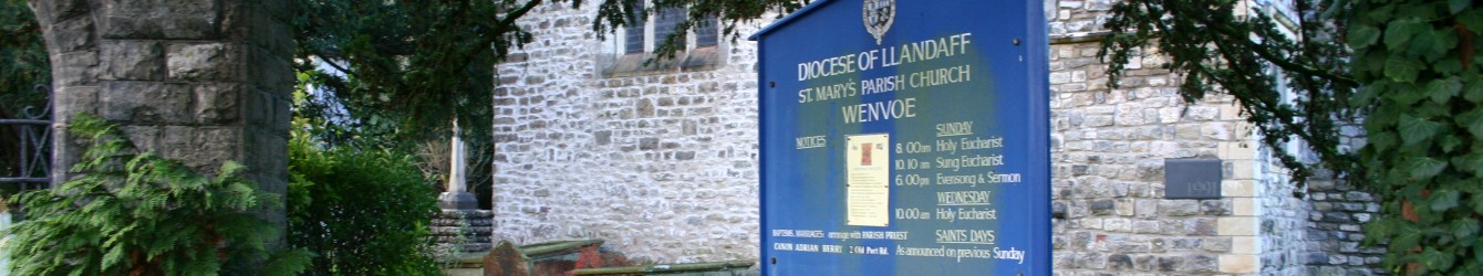
We were planning to have lunch on the beach but decided to head for the church instead as a breeze was coming off the sea. We basked in the heat of the sun as we ate and then explored the information available. This was where Marconi and Kemp exchanged the first radio messages across water between Lavernock and Flat Holme on 11th May and Lavernock and Breadon Down on 18th May 1897.
From here Penarth is north and we stayed on the coast, meeting more people as we neared the clifftop car park. Just before the clifftop café, we headed inland to take the Penarth Railway path, which follows the route of the old Cadoxton branch line,between Cosmeston and Penarth town centre. At one point there is a row of interesting terraces either side of the footpath each terrace has a different name.
During the walk we saw a surprising number of plants including blue borage, purple honesty, and lots of blackthorn with its white flowers.
Once in the busy centre we kept away from the shops and climbed streets leading to the top of a hill where there is a small garden dedicated to seafarers. Tall Iroko posts with holes drilled form ‘Bee hotels’ for solitary bees. Large stones have images of tattoos associated with sailors and a plaque explains their significance: Swallow guarantees a safe return; Golden dragon is the international date line; chicken and pig protect from drowning; anchor signifies stability, loyalty and honour; heart and dagger signify a lost comrade.

A view of Penarth Marina and Cardiff Bay with the expanse of the sea opens from here. St Joseph’s park is a traffic-free route connecting Penarth, the Marina and Cardiff and we descended through it to the Marina where our leader and his wife invited us to enjoy homemade cookies and chocolate cake adorned with Easter chicks with our teas and beers. A splendid end to an interesting walk
Walk 7.3 miles 500ft. Map OS151.