Pontrhydyfen & Llwyn-Onn

Pontrhydyfen & Llwyn-Onn
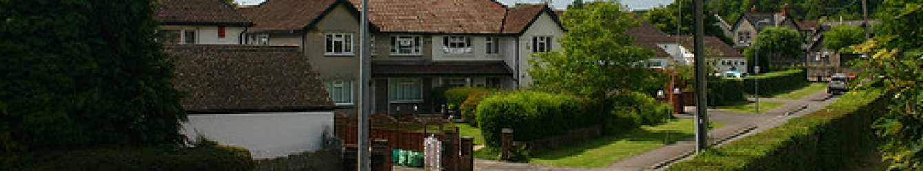
Pontrhydyfen
We parked at Rhyslyn, Afan Forest Park in late spring, and set off on the Richard Burton birthplace trail soon spotting clumps of cowslips.

Crossing the viaduct towards Bethel Chapel we looked down on the river and over to a second viaduct. As we turned the corner of the chapel, we noticed that high up in the stone wall was a gap filled with a different material; bees had obviously made this their home and were busy coming and going.
It was a lovely day, and we walked in dappled sunlight beside trees. This was yet another walk where we were able to see bluebells (one of 6 this year). A long line of at least nine bee hives sat along the edge of a field. Next, a line of caravans and motor homes were awaiting their summer excursions. A donkey and a horse took an interest in us and our equine lovers said hello.
As the day progressed it warmed and lambs could be seen gambolling in the fields. We had an early lunch sat amongst the roots of an old hedge line which also provided shade as the ‘hedge’ had grown to a line of trees. The view was a pastoral idyll of green fields, rolling hills and sheep with just a few houses in the distance.
At one point we could see Port Talbot steel works in the distance, quite odd as there was no smoke and no sign of activity. Since then, one of the main Tata steel cylinders has been demolished.

We were at the highest point of our walk and came across a bench with a heart-shaped dedication to a dog – ‘always by my side, forever in my heart’. It was now hot and the views expansive. The wall of a property totally overgrown with greenery had several pottery animals dotted about – a horse’s head, a pig and some sort of bird.
The return was a pleasant walk along the river and another bench with a dedication ‘Sit with me and watch the world go by’ – this time for a 26-year-old.
Before long we were back in Pontrhydyfen, and wandered over to the Bethel chapel café, where hot and cold food is available. ‘In 1984, hundreds of mourners, including locals, fans and A-list stars gathered here to bid farewell to Richard Burton.’ The place is full of memorabilia as well as some pithy sayings such as ‘skinny people are easier to kidnap, stay safe and eat cake’. So, we did as it was someone’s birthday and we sat outside in the balmy air to enjoy it.

As we walked back to the cars a friendly local chatted to us and pointed out the house where Richard Burton was born, rounding the day off nicely.
Walk 6.8 miles 1000ft Map OS165
Llwyn-Onn
We parked in the Forrest holidays site, west of the reservoir where a wooden sculpture of the BFG stands. This was an excellent route for a hot day with plenty of shade.
Although we were circumnavigating the reservoir, we could not see it for most of the walk. Birdsong accompanied us all day and there were bluebells once again but at the end of their display. The paths were edged by many orchids – early marsh, common spotted and others. An unusual yellow flower turned out to be common cow wheat and buttercups covered fields. White pignuts were plentiful in one area.
We sheltered in the cool shadow of a tree for lunch and were swamped by swarms of midges – some of us suffering for days afterwards with the resultant bites.

The old Taff trail proved very difficult in parts where the trees and shrubs were reaching across the path with a barbed wire fence on the other side. Towards the end of the walk the footpath disappeared so we changed route and walked beside the reservoir, stepping into it where gentle waves lapped the path.
At Garwnant visitor’s centre, information boards cover the geology of the Brecon Beacons and information on an arboretum. It was a beautiful hot sunny day and the walk ‘a bit of an adventure’. When we told a ranger at the visitor centre the problems on the old Taff trail. he said, ‘he wouldn’t go down there these days.’
We enjoyed drinks here and many of us also had ice-cream!
Walk 7 miles 1000ft Map OL12


