Ogmore to Monknash
Ogmore to Monknash
We parked at Monknash and caught the No. 303 bus to Ogmore. We were to begin our walk just above the estuary of the river Ogmore and travel back along the Heritage coast to Monknash.
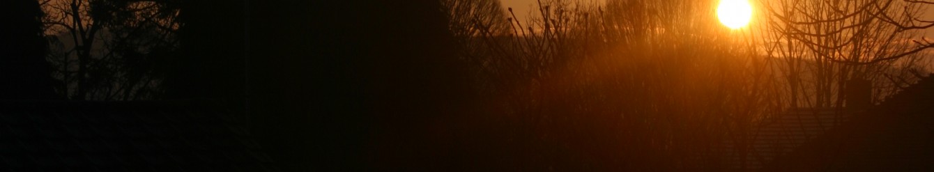
Walking down to the car park we looked towards Porthcawl, heavy clouds sat on the horizon but visibility was good. Turning east glimpses of the sun danced on the sea through the thick cloud cover. The forecast was rain so we were dressed in full waterproofs. After half an hour or so we were stripping off the layers as it was quite warm and there was no sign of the promised rain.
On the way down to Southern Down beach we had the first of several sightings of a large brown and black striped caterpillar – probably the fox moth. A flock of sheep looked as though they had ‘purple rinses’.
We headed on towards Dunraven Bay and as we climbed to the walled garden of Dunraven castle a group of people came in our direction – the crew of a King Arthur film (at least that is what they said they were) decked out in medieval dress complete with at least one sword and some arrows.
At Dunraven the first walled paddock was built in this sheltered spot in 1543. Under the stability of the Tudors, country houses had walled gardens to protect against wandering marauders and wild animals and allowing plants to be grown in remote areas. In a corner of the walled garden is a building which looks a bit like a castle but is in fact an ice house; every winter ice would be packed here to freeze food and store it safely. In Victorian times a heated glass house was placed in a south facing position and exotic plants from other parts of the world were grown. The walled garden is also home to the ghost of a young woman called ‘the Blue Lady’. There have been many sightings and it is said that an appearance is followed by the lingering scent of the yellow mimosa flower.
Walking to the viewing point towards the next bay, we were lucky to see the ‘magic waterfall’ – it only appears after rain!

We explored the ruins of Dunraven house which are above the garden and closer to the sea. People were living in Dunraven in Celtic times. The Romans built a fort here and in the 12thC a Knight called Arnold Le Botelier (or Butler) arrived and built a castle. A marriage led to the Vaughan family taking over the estate and they built a manor house in the 16thC. The Wyndhams bought Dunraven in 1642 and built a huge, ostentatious neo-gothic house in 1803. The house was used as a convalescent home during the two World Wars. Finally in 1962 the mansion was demolished, a casualty of the cost of maintenance.
Continuing along the cliff top, we stopped to admire a juvenile Peregrine falcon which hovered near us for ages. As we walked we kept well away from the edge; there are visible signs of erosion even on the surface but looking at the cliffs we could also see the telltale cracks in the rock face which may well succumb to this winter’s storms.

The rocks forming the cliffs of the Glamorgan Heritage Coast were created in the early Jurassic times. The land that is now the Vale of Glamorgan was formed at the bottom of a warm shallow sea near the equator. Most of the rocks were created from the build up of millions of shells of tiny sea creatures, together with mud brought to the sea by ancient rivers. Eventually this was compacted to form limestone.
We stopped for lunch at an Iron Age fort. Shaggy parasol fungus grew in profusion in the area.
Arriving at Monknash beach we were astounded to see the volume of water pouring down the normally tranquil little stream which emerges here. At this point we divided into 2 groups; half of us walked up the stream and back to Monknash to retrieve the cars finding it necessary to wade across several inches of water in one place with the water getting into boots!

As it was low tide, the other group walked along the beach to Nash Point. It feels almost primeval with its craggy rocks eaten away by the sea and no noise apart from the screech of seabirds and the rolling waves. At one point we heard a deep rumble and glanced at the cliffs just in time to see a small but dramatic rock fall. Just as at Monknash the stream at Nash point was very full and we crossed it where it disappears under large rocks. Walking up the road to Marcross we were reunited with the others in the pub for refreshments. (Walk 8.5 miles Map 151)