The Sugar Loaf
Sugar Loaf (the hill north of Abergavenny)
Many people who climb Sugar Loaf park halfway up, not us, in order to have a decent walk we parked at Glangrwyney. The day was sunny and warm but not too hot, ideal walking weather.
 Sugar Loaf was originally called Mynnydd Pen-y-fal – ‘mountain of the head/top of the peak/summit’. Pen-y-fal is still shown on maps to the northwest of Sugar Loaf. The name Sugar Loaf was applied because it has a resemblance to a sugarloaf. Until the late 19th century refined sugar was produced and sold in the form of a sugarloaf. A tall cone with a rounded top was the end-product of a process in which dark molasses rich raw sugar was refined into white sugar.
We set off in a northerly direction to Hall farm and then climbed through Cwm Gwenffrwd along a wide track. Harebells in the verge gave an unexpected splash of late summer colour. Sheep and hens grazed and pecked in a field full of thistles and a sheepdog barked at us.
Heading east the path skirts around a rise to take us towards Llanwenarth where the NT car park is situated. We passed Y Graig on the southern slopes of Sugar Loaf. Here in the 1990s a prehistoric site was discovered containing flint tools from the Mesolithic, Neolithic and Bronze ages.
Now the gradient increased as did our views of the countryside around us – always gorgeous in this part of the country. The top of Sugar Loaf came within sight and strangely on the ground at our feet we spotted beetles rolling dung many times their size. Just as you see the dung beetle of Africa doing but on a smaller scale.
Now we started to stretch into a longer line as some people kept up their pace and the rest of us stopped regularly to take in the view (nothing to do with needing a rest).
As we approached the final climb the path divided; it was apparent that the path to the right led to a craggy outcrop whereas a slight detour left gave an easier if slightly longer route. The first to the top stood near the path signalling directions to the rest of us.
At the top the breeze, that had kept us refreshed on the way up, suddenly became a wind which cut into us – cooling after our exertions. First impressions were of the number of families at the top; quite small children attempting to fly kites, while parents sat and looked at the 360o views of the plains to the east and the Black mountains and Brecon Beacons to the north and west. Others were enjoying picnics.
A couple of us sat down and started eating lunch immediately but most of us went to the trig point at 596 metres and then found a niche just under the summit, out of the wind to eat whilst enjoying the warmth of the sun. The Sugar Loaf is under National Trust ownership and is grazed by Welsh mountain sheep – two of these decided they would like to share our lunch but after a few minutes moved away.
We went back to the trig point for photos and to pick up our return path which was a fairly steep descent in a westerly direction.
The temperature rose as we dropped and we relished the warmth of the sun. At this lower altitude the countryside was lush and we saw trees heavy with fruit and fungi at the side of the path. We passed ‘The Old Vicarage’ which was indeed an old house; it had an upper storey with an interesting overhang at the entrance to the drive.
Soon we arrived at Llangenny where houses sit above the river Grwyne Fawr. We crossed the river and then followed it back towards Glangrwyney.
 As we stepped over a stile onto a road we were impressed by the majesty of a huge sweet chestnut tree. There was enough room for all of us to stand in front of it and it had a limb which reached down to the ground – looking a little like an elephant’s trunk. Its leaves and fruit sparkled in the sunshine with the river glistening behind it.
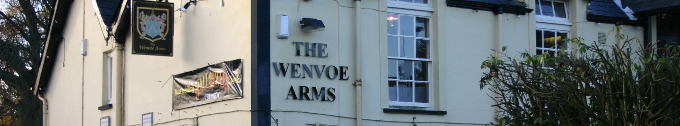
As usual we went for refreshment to a local inn and sat in the garden under a crab apple tree laden with fruit. We were very pleasantly surprised when two plates of delicious chocolate brownies accompanied our drinks, a gift from the landlord. What a lovely gesture and much appreciated. This was a great end to an excellent walk (8.25miles with a 1900ft climb) on a beautiful late summer’s day.