Margam Park and Merthyr Mawr

Margam Park
We parked at the small fishing lake near Margam Abbey, the drive over had been misty and as we started out it was raining. Heading north we passed the lake with ducks and swans.
Margam park is one of 22 sentinel sites across Wales acting as an early warning system for any plant pests and diseases. There is a hillfort just above the abbey, we decided not to climb it as there would have been no view. A memorial bench dedication struck a chord, ‘come and sit and watch the seasons change’, we were ready for an end to this winter’s rainfall.
Everything was festooned with moss, fungi and water droplets. The views were restricted as the mist and rain continued. We walked alongside woodland, through woodland and almost up to the Ogwr Ridgeway walk. Lunch was taken in a wood where some of us sat on tree stumps but most stood, as the incessant rain dripped from the trees onto us and our sandwiches.

After lunch the rain was heavier with a wind driving it horizontally. We saw frog spawn and squelched across an open area as the footpath was water-logged. Bare trees grew from ponds which are almost certainly not there normally.
The mist became thicker and a herd of deer stood staring at us through the gloom. Soon after we reached the highlight of the walk, a visit to an ancient ash tree. Its trunk had split open and a couple of branches had reached down to the ground. On one of these, above our heads, a group of daffodils were growing amongst ferns – an amazing sight. Hidden by the mist, beyond the tree was Port Talbot steel works.

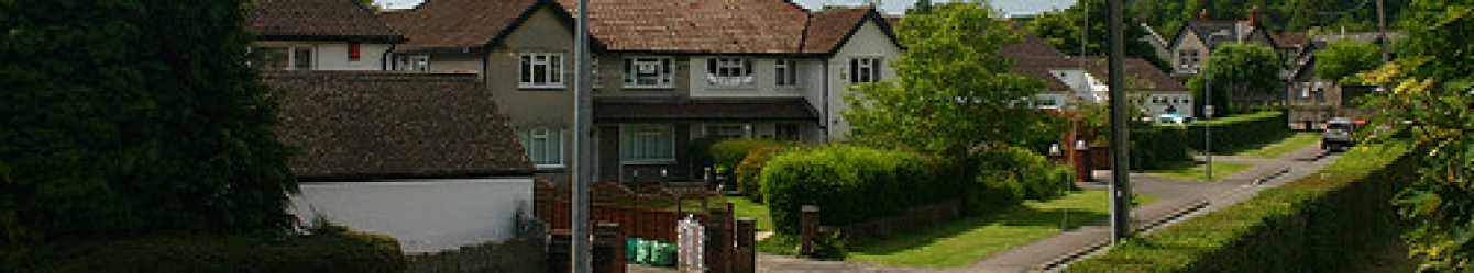
Margam
Margam’s tamer paths formed the rest of the walk as we passed information boards about bike rides and walks in the area and a sculpture of a stag outside the remains of the abbey. More than one of us will return to visit the Margam Stones museum with its Celtic crosses.
At the end, we were all soaked through and we opted to go straight home rather than stop for a drink. One person declared it ‘the wettest walk ever’. But that ash tree and the deer made it all worthwhile, I think!
Walk 7 miles 1110ft Maps OS165,166,151
Merthyr Mawr
Parking at Castleton we walked up the surprisingly busy road, but the weather was dry. A footpath led us uphill across a grassy field and down to a stream which had spread over the grass. White violets, vibrant red cup-shaped elfin cap and other fungi were abundant.
At Merthyr Mawr the dunes are fenced and cattle or ponies graze to keep the dunes open, preventing overgrowth by dense grasses and scrub. We walked through some scrub where gorse and hazel were in flower and spiky sea buckthorn bordered the paths together with the seed heads of evening primrose.
Natural Resources Wales’s website explains how dunes are formed. Waves carry offshore sand to the beach and storms and tides stir sand from the seabed. Coastal erosion can contribute and rivers may bring inland sand. Sand deposited on the beach, gradually builds to dunes, typically in areas with a wide sandy beach.
Waves and wind leave obstacles such as wood, pebbles and seaweed on the beach at the high tide mark. Once the sand is higher up the beach it can be blown by the wind, is trapped by the obstacles and dunes start to form. Plants like marram grass colonise the dunes, their roots stabilise the sand allowing more sand to build higher dune ridges. As plants die organic matter allows other plants to grow perpetuating the growth of the dunes.
Arriving at the beach, we noted the huge amount of wood which sat at the hightide line and walked halfway to the river Ogmore before choosing a tree trunk to sit on for lunch. A cool breeze picked up and reaching the river we saw ripples running across it in strange patterns.
Walking upriver we noticed holes dotted in the sand dunes, continuing for a good distance, rabbit burrows we guessed as they looked too large for birds, and we had seen a few rabbits. Good paths led us past a stand of silver birch and then beech trees with their russet leaves and back to the car park.
Walk 6.5miles 450ft Map OS151