Stormy Weather – Senghenydd

Stormy Weather – Senghenydd
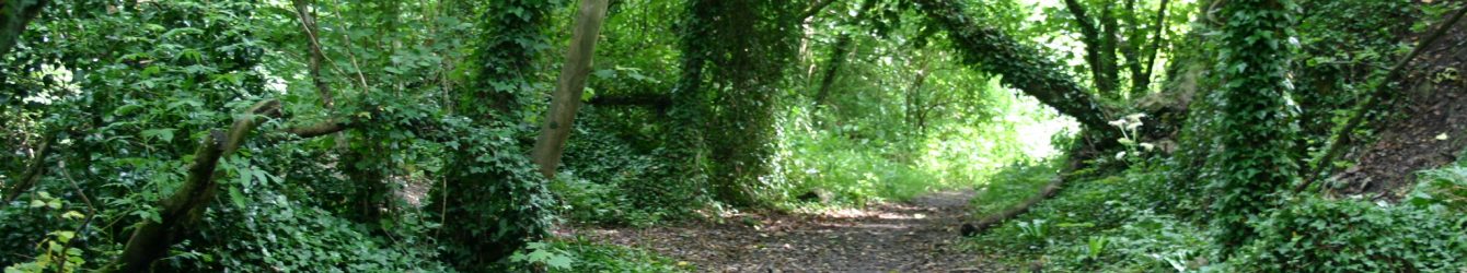
We parked on the Eglwysilan Rd near Abertridwr, next to St Ilan’s church and a closed pub, to climb up to the Rhymney Valley Ridgeway walk and do a wide circuit around Senghenydd. As we booted up the wind cut across the pub car park and we donned extra layers. Storm Amy had arrived, and we took to the plateau that surrounds Senghenydd knowing that there were no trees to pose a danger to walkers.
It was sunny but the wind was very strong, and every step needed concentration. As we set off one person was heard to say, ‘I am glad my rucksack is so heavy, it might keep me on the ground’. Cows sat in an open field and it could have been a summer’s day but of course, they were sheltering from the wind.
There was very little conversation as we could not hear above the howling of the wind and going uphill required all our breath. On reaching the plateau a rainbow appeared ahead of us. There seemed to be an amazing number of electricity pylons marching across the area. Although we had been here before we had never noticed how many there are before, but they were to be our constant companions, and we never seemed to lose the sound of the wind vibrating through their wires.
We could see a fair distance as it was clear. The track we were following was stony and wide, so we always felt safe. Horses grazed as if all was normal.
We came across a number of horses. There are around 250 semi-feral ponies living on the commons of Gelligaer and Merthyr Tydfil, the majority of which are not owned and are the result of unchecked breeding of abandoned horses and ponies. The RSPCA surveyed the ponies in 2024 and, assisted by other animal charities, agreed a plan to rehome some of them. The aim is to create a more sustainable future for the ponies and the land.
Crossing a stretch of moorland, we could see people in the distance and as we came closer realised there were dogs with horse riders. The Gelligaer hunt were exercising a pack of hounds (at least 20 beagles and wolfhounds). We stepped off the track to allow them to pass but they gave us a wide berth, and we exchanged smiles with the riders. We were probably all thinking we were mad!

One stretch of the path was flooded and around here a small herd of cows spread out some sitting, others grazing. In the distance we could see a pyramid shaped slag heap and as we got nearer could hear shooting. Red flags were placed around the perimeter of the Llanbradach shooting club. We were surprised at the large number of vehicles and men who seemed to have huge guns. A constant sound of shooting was in the air for about half an hour after we had passed them.
It was time for lunch. We were walking just below the top of a hill with no shelter from the wind, as we had stayed away from any structures, and decided to hunker down in an attempt to escape it. It was certainly a bit calmer at ground level but quite cold, which encouraged us to eat quickly.

As we resumed, we passed a radio mast which sounded a higher note than the electricity lines. Soon we were descending from the high ground and passed a stream tumbling down the hillside.
Arriving back at the cars, we briefly looked at the churchyard of St Ilan’s (which held its final service in 2023). There is a large yew tree and many of the victims of the Senghenydd colliery disaster of 1913 are buried here. It is the worst mining accident in the UK; an explosion caused by firedamp killed 439 coal miners and a rescuer.
The wind had been constant and very tiring; we all agreed it had resulted in a harder walk than more challenging walks, but the route had been excellent for the conditions. For once we headed straight home without stopping for refreshments.
Walk 7.8m 800ft Map OS166