Clytha Park and River Usk.
Clytha Park and River Usk.
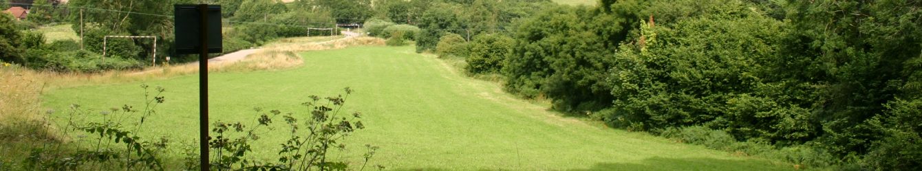
The notice board at the National Trust car park in Clytha Park offers two walks 2.5 or 5.5 miles. Combining them created a walk of 7.75 miles with a 500ft climb.
We set off on a late autumn morning; the weather was grey but dry. A path led us into farmland where two vehicles were ploughing the land, one turning it over the second producing tilth. Footpath signs were good and at one point giant arrows were painted on two trees where the path went between them. We crossed a couple of fields of mangel-wurzels and passed a white house with a veranda. The path followed an avenue of beech trees and an area of parkland with cows grazing.
Southeast of the car park is Clytha castle with its circular corners and squat towers.
We continued past a wood towards Clytha Hill with distant views of Sugar Loaf. The trees glowed with their glorious leaf colours.
At Coed y Bwnydd secreted atop the hill is possibly the best preserved Iron Age hill fort in Monmouthshire with human activity stretching back 2000 years. The fort’s defensive banks and ditches are clearly visible. They helped to protect the inhabitants from attack by other tribes and animals such as wolves and bears. Roundhouses have been excavated here. The main sounds today are birdsong but 2000 years ago you might have heard axes chopping, people chattering (there was some of that today as we passed through), sheep and hens and the clunk of metal being worked. Wild boar or deer might have been roasting on wood and charcoal fires, their aromas filling the air.
We continued to the village of Bettws Newydd, finding a fascinating wall with large chunks of stone of different sizes in amongst horizontal flat stones. The church porch had a coffin stretcher on its rafters. A piece of wood had a poem written on it (by N.N. in 2009):
‘The Bettws Yew
The star which shone on Bethlehem shone on this noble tree
It stood here still in Norman times when knights claimed their victory
As King Charles lost his head this tree made growth anew
Thanks be to God that we still have our Bettwys Yew.’

We headed west towards the river Usk, passing through farmland where we saw calves, trees heavy with mistletoe (common in Monmouthshire) and an old tree which had grown around a piece of metal fencing entirely engulfing it. After passing Trostrey Lodge we came to the riverside and followed it back to the car park. Map OL13.
 We parked at Kilpeck church, a few miles south of Hereford, and went straight to the church. It is a 12th century building with wonderful original features. Corbels (89 of them) decorate the edge of the roof; the images cover a wide range from a bird pecking a smaller bird, Celtic knots, Sheelagh-na-gig, hound and hare, serpents and some strange creatures which are difficult to identify. Then there is the entrance door. Although there is no porch it is in an amazing state of repair. The stone prights and arch, of the doorway, are covered in carvings including dragons and the tree of life. The door itself is solid wood with huge metalwork holding the door together and bolted through the door to giant hinges. A lot of the furniture within the church is Victorian but the architecture is 12th C – 14thC. There is a minstrel’s gallery; its origin is a mystery as the staircase leading to it is Victorian but it may be Elizabethan or Jacobean. The former seems likely as that was when music in churches became more sophisticated and wooden galleries at the west end of churches became popular.
 The area around Kilpeck had been known as Ergyng when it was a small Welsh kingdom. Later it became part of the Welsh marches and was renamed Archenfield. In 1086 a timber castle was built to establish Norman rule in the area. Although a stone castle replaced the original, little remains of Kilpeck castle sat on a mound to the west of the church.
 Sugar Loaf was originally called Mynnydd Pen-y-fal – ‘mountain of the head/top of the peak/summit’. Pen-y-fal is still shown on maps to the northwest of Sugar Loaf. The name Sugar Loaf was applied because it has a resemblance to a sugarloaf. Until the late 19th century refined sugar was produced and sold in the form of a sugarloaf. A tall cone with a rounded top was the end-product of a process in which dark molasses rich raw sugar was refined into white sugar.
 As we stepped over a stile onto a road we were impressed by the majesty of a huge sweet chestnut tree. There was enough room for all of us to stand in front of it and it had a limb which reached down to the ground – looking a little like an elephant’s trunk. Its leaves and fruit sparkled in the sunshine with the river glistening behind it.


