Garth Hill and Ystradowen

Garth Hill
There was a downpour at 8.30 and again at 9.00, with rain cascading over the chutes. Still, we met as usual and agreed to ‘give it a go’, the rain stopped and ‘dry until 12.00 with 40mph winds’ was forecast. From the Radyr to Pentyrch road, we crossed Heol Goth and climbed to enter Garth Wood. We were greeted by bird song and the paths through this lovely wood were good.
Pentyrch’s the King’s Arms is a grade II listed building, originally a 17th century copyhold farm (Cae Golman). It has a fireplace with a beam dated 1711. We passed Acapela Studio near the Lewis Arms, a venue with a strong reputation.

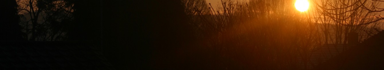
The sun came out and there was no wind until we reached the top of the Garth, and were we glad we had persisted. Visibility was amazing with 3600 clear views encompassing the Severn bridge, Newport transporter bridge, Glastonbury Tor, the Channel, the islands of Flat Holm and Steep Holm, Cardiff, Wenvoe, and the airport as well as the Valleys.
We descended rapidly and settled next to an old stone wall for lunch. The wind was cold, but it was pleasant in the weak sunshine. As we ate, dark clouds gathered and seemed to sweep around us up to the Valleys. Then we hurriedly finished our lunch and resumed walking as the first drops of rain began to fall.
There was a very wet area between Garth Hill and the river Taff. Here we needed to cross a stream onto a very wet ‘island’ before climbing a wobbly stile. Two gallant men (one of them with one foot in a stream) held the stile steady as we each climbed over it and jumped across a second stream. Someone offered me a hand to help me, and they fell back into the mud as I came forward and I got a boot full of cold muddy water helping her up. Then we trudged up the hill across the field which was potholed with deep puddles between tiny patches of grass. We were very glad to reach the stile at the top of the field and a lane. Another person had taken a tumble in the field but none of us was hurt and even my feet were warm and cosy by the time we exited the field.
The final descent to the Taff trail was steep with zigzags, it was obviously used by mountain bikers. The river Taff was very full and fast flowing, and we talked about how dangerous water can be.
Tea at Pugh’s Garden Centre refreshed us.
Walk 6.6m 1200ft Map OS151
Ystradowen
Another week of torrential rain, hail, and wind with many floods, had us thinking it might not be practical to walk in the Vale, but we agreed to go and see how the land lay and come home if necessary.
We parked in Ystradowen and headed west and then north towards the fisheries as we thought this would be the wettest area underfoot. It was squelchy underfoot but nowhere was impassable, so we kept going. The fields did have a lot of lying water with ponds visible in places, but the footpaths were all firm underfoot with occasional streams to navigate at the bottom of slopes.

We made our way to Hensol Forest where we used the main tracks which were excellent underfoot. At the car park we stopped for lunch at the BBQ area and the sun shone briefly and we could see the Channel.
Resuming we walked towards Prisk, a stream was in full flood with a tree creating a dam, so we detoured and walked along the road, where we spotted our first daffodil and red campion of the year. Back on a footpath we saw a kite take to the air and admired its majestic flight which must have been an effort as a brisk wind had blown up. A meandering stream spread across a wide area, but we negotiated it without a problem, climbed a slope, admired some pretty sheep with black markings and were back in Ystradowen.
Did you know that Tom Jones had a home in the village until 1998?
The café at Bonvilston provided us with piping hot mugs of tea. And when two bikers’ meals arrived with plates piled high with omelette and chips, we were asked ‘Do you have chip envy?’ (We must have been salivating). The next minute a bowl of chips appeared – they said they had cooked too many and we were welcome to them. All that for £1.50 a head!
Walk 6.4m 800ft Map OS151