Llanharan and Caerwent

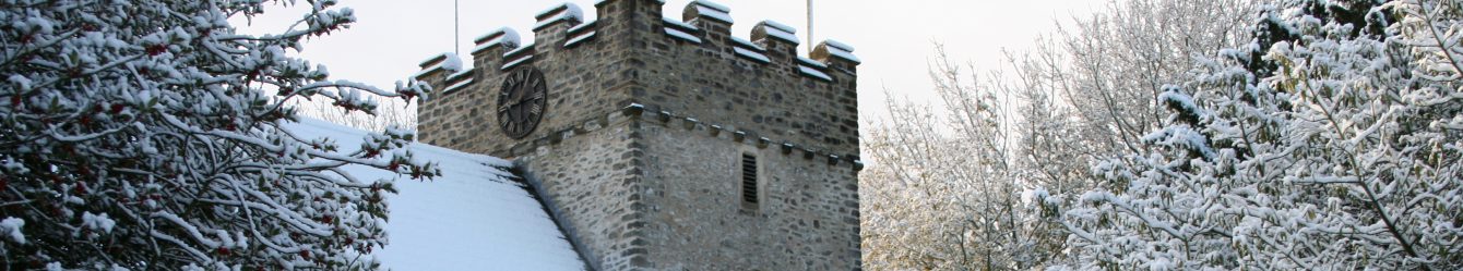
Llanharan
Parking at Llanharan station we headed uphill at the High Corner pub, turning right along a terrace to a large field. We walked through wood-land and passed a Christmas tree farm emerging onto open moorland. Out from the cover of trees, we realised it was raining and donned waterproofs; most of us didn’t have waterproof leggings and our trousers were soaked and dried several times.
Somewhere not far from us were the wind turbines that are visible from the A48 and M4, but low clouds hid them although we could hear the whooshing sound of the blades. We stopped for lunch under a few trees which had grown from a hedge and one of the turbines momentarily appeared only to disappear again

Continuing we came to Caer rocks, known locally as the Cariad stones, because of a carving in the slabs, ‘Dduw Cariad Yw’ which can be seen from below even on such a cloudy day. It translates as ‘God is Love’ and is said to have been inscribed by a zealous preacher from Tonyrefail in the early part of the 20th century. There is also a story that in the 1920’s a collier from Thomastown (near Tonyrefail) carried his daughter here daily to sit with him as he carved. She was suffering from tuberculosis and as he carved, she breathed in the fresh air. When he finished his daughter was healed. On a clear day there are good views, not today.
One person took a track back towards Llanharan whilst the rest of us continued along the ridge. When it was time to descend, we were confronted by a sea of waist high bracken interlaced with hidden brambles, the footpath was nowhere to be seen. A few aborted attempts to get through it were made including one which followed a dried-up stream for some way before we had to admit defeat and retreat back uphill to join our friend on the track.

The weather was clearing, and we admired rain drops on spiders’ webs and gloriously coloured heathers. The track was so narrow we had to breathe in deeply to allow a car to pass.
The final stretch was through Brynna woods where we spotted a clump of well camouflaged orchids. Walk 6miles 1000ft Map 151
Caerwent
We parked at the Roman site of Caerwent, a good-sized free carpark which was not full even on a warm August weekend. This is just inside the west gate of Venta Siluran, a Roman town founded shortly after the Romans’ conquest of South Wales in 75AD. The town became the tribal capital for the Silures and had its own town council. Sitting astride the Roman Gloucester to Caerleon road, it was the largest civilian settlement in Wales covering 44 acres. Initially buildings were wood but by 200AD public buildings, shops and houses were stone. A defensive stone wall and ditches were added later and the Roman town wall that still encircles modern Caerwent is the best preserved in Britain.
Pound Lane has a huge fig tree at the corner and the layout of a number of buildings can be seen on the ground. We visited the Church of St Stephen and St Tathan with its rotating lychgate. Inside there are roman sculptures which were uncovered in 1900 and 1911 during building works, 4 blocks show floral motifs, and one has a bird on a leaf. An exposed, framed section of the floor has a Roman mosaic.

The footpath from the churchyard led us across a field planted with maize which came well above our heads and was planted so close to the path that the large leaves slapped at us as we walked through – one person even cut their lip. It seemed to go on forever, but eventually we emerged and stepped over a stile to a road.
The route took us across an abandoned golf course where the grass was crisp from lack of rain and we climbed over an electric fence with no isolators but were able to temporarily disconnect the batteries.
We spotted lots of centaury growing in patches and a row of liquidambar trees, unusual and decorative. An old rabbit hole had been colonised by bees with the distinctive honeycomb pattern easy to see. At Slade Woodland we learned that more types of wildlife live in the first 10 metres of a woodland ride than in the rest of the woodland as it creates a more open and sunny space

After crossing a field where a large herd of black cattle followed us, we were soon back in Caerwent and skirting the Roman remains again.
The walk was across a mixture of grassland, crop fields, roads, and woodland where we sheltered for lunch. It was a hot sunny day and where roads had high hedges it was even hotter; in the open there was a breeze at times. Luckily all the crops, apart from the maize at the beginning, had been harvested so it was relatively easy underfoot. Walk 81/4miles 500ft Maps 154 and OL14
Note: At this time of year, footpaths may be overgrown, and it is a good idea to carry a pair of secateurs (and maybe gloves). Brambles, nettles etc. can block paths and stiles are frequently impassable. Even with secateurs we had to take a diversion on the Caerwent walk. And the bracken was so dense on the Llanharran walk that we had to retreat and take a shortcut.