Cefn Mably and Ruperra Castle / Ystradowen
Cefn Mably and Ruperra Castle
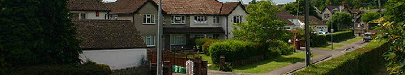
We were lucky, there had been snow overnight; in Cardiff and the Vale the snow was light but further north there were heavy falls. Starting at the drive to Cefn Mably, near the farm, we walked towards the house and passed in front of it.
We turned west walking across farmland which was rather wet underfoot. Entering a large field, a herd of cows and a bull moved towards us. They split us into 2 groups most of us remaining in the open, but a couple apparently pinned at the edge of the field. Soon we could hear a tractor engine and the farmer arrived with feed – the cattle had heard the engine before we did and had no interest in us.

Approaching a river, we turned northwest towards Cefn Mably woods, keeping them on our left and then heading across open land. A house had an apple tree which had dropped its fruit and was now festooned with Christmas baubles. Surrounded by a light sprinkling of snow it looked very festive.
As we climbed higher more of the fields were snow covered and dark trees were edged in white. A branch of a tree, with a large chunk of wood as its base, was an attractive garden bird table.
We arrived at Coed Craig Ruperra, managed by Ruperra Conservation Trust, a notice offered logs for sale. Skirting the edge of the wood we arrived at Ruperra castle:
Ruperra Castle was built in 1626 by Sir Thomas Morgan, who was knighted by King James 1st. It was a typical Jacobean courtier’s house. King Charles 1st stayed here in 1645, visiting in an attempt to raise support for the royalist cause in the civil wars. However following defeat by the parliamentarians at the battle of Naseby, the Glamorgan gentry, realising the Royalists were about to lose the war, refused to help out. During the 19th Century the eldest son of the Tredegar family lived at Ruperra, which saw its heyday as a great Victorian country estate. Destroyed by fire in 1941 and still in a state of disrepair, it is now a Grade11 listed building supported by the Ruperra Conservation Trust.
Close to Ruperra Castle are banks and ditches formerly part of an Iron Age Hill fort and a large motte, probably constructed by the Normans around 1100. With its superb and commanding views over the surrounding countryside, it would certainly have provided a strong defensive lookout point.
As the weather was clear we took a diversion to the motte. The views from the motte were excellent, improved by the dusting of snow. We sat down leaning against its walls to gain shelter from the cold and eat our lunch.
Descending we saw a few fellow walkers – the first of the day. We came across a long stretch of laid hedging, the craftsmanship that had created it was clear in the skeletal ribs evident in the winter.
Leaving the Coed Craig Ruperra area we walked through a farm with a barn full of old crates and huge logs. Going under a power line we spotted a heron stood in the middle of a field, it didn’t appear to move a muscle as we passed.
Now we could see a road-bridge over the river Rhymney and within a few minutes we stepped onto the road, walking a short distance to the cars.
The walk was 7miles and 700ft climb. Map 151.Thanks to Ross Thomas for the historical information.
Ystradowen
Parking in Ystradowen we crossed the main road to a footpath. Setting off across farmland, towards Mynydd y Fforest, it was typically wet underfoot – so wet a pond had formed.
Some pigs wallowed in a particularly mucky area and later we saw more in an open field attended by a farmer.
On reaching Mynydd y Fforest we made our way through the small but pretty wood and generally southwest towards Llansannor. Emerging onto the road and looking north, the village ‘City’ stood above the area. Turning south we came to Llansannor church and spotted our 1st snowdrops of the year with white buds showing. We continued past Llansannor Court and farm.
Crossing a few more fields we stopped to eat our lunch. We could hear dogs yapping and as we made our way to the road for Trebettyn, we found the source of the noise, a number of small dogs penned in a garden. Unusually the house had gargoyles on its low perimeter wall.
Now we headed east towards Maendy and Prisk, mostly by road, and passed the entrance to Caeau farm. At Prisk we turned north passing Castell Tal y Fan farm and the remains of the castle wall. The track passed a field containing cows and a bull.
As we made our way back to Ystradowen the ground was muddy. Some of the stiles had been overgrown, some with missing or unsteady treads and others a bit high for some of us. Despite the mud in places it had been surprisingly firm underfoot for the Vale of Glamorgan and we had enjoyed the walk unspoiled by rain which had threatened throughout the day. The walk was 7 miles and 700ft. Map 151.
A map of any of the walks featured in this column is available as a pdf file from Ian .at ianmoody029@gmail.com