Waterfall Country
Waterfall Country
(OS map OL12)Pontneddfechan is a former silica mining hub and sits at the confluence of the rivers Mellte and Nedd Fechan. Silica mining took place in this area from the 18th century to the mid 1960s. Because of its high resistance to heat, silica was used to make ‘fire bricks’ used in the construction of kilns and furnaces for the copper, steel and iron industries. Although silica can be converted to silicon – the material used to create the tiny circuits which power computers – the mines had closed before global demand for pure silicon took off, and it is now mostly manufactured in China.
 We arrived at Pontneddfechan on a misty morning and took a footpath after passing one of the local hostelries and soon found ourselves following the river Nedd Fechan on its western bank. It was immediately obvious that there was plenty water in the river as we could clearly hear the water rushing on its way. Hopefully this promised full waterfalls but a little worrying as we were hoping to cross the river further up. The footpath had clear signs of once carrying a railway and no doubt this would have brought silica from the mines.
Waterfall country is an area of deep valleys, rocky gorges and ancient woodlands. The footpaths are well marked but on a wet day some of them were quite slippery and as usual there were warnings ‘Danger Rivers in this area can be cold, deep, fast flowing’. Even with the persistent rain the valley was beautiful and we enjoyed many ‘minor waterfalls’. We soon reached the confluence of the Rivers Pyrddin and Nedd Fechan.
We followed the river Pyrddin in a north westerly direction, hoping to reach Sgwd Gwladys and Sgwd Einion. We reached Sgwd Gwladys (Lady falls), which was in full flow from a 6 metre drop. Below the waterfall the river enters a deep pool and then widens out with shingle areas making it possible for us to cross the water (somewhat tentatively in the faster flowing areas). We continued along the river Pyrddin and soon came to the place we would have to cross the river again in order to reach Sgwd Einion Gam. The river was wide and deep in places, with fast flowing water and very little prospect of a crosing place. The men walked along the bank and into the river but couldn’t find anywhere we’d all have been happy to cross so we had to save Sgwd Einion Gam for another day.
 Legend has it that Gwladys, a daughter of Brychan, 5th century king of Brycheiniog, fell in love with Einion after whom a waterfall is named Sgwd Einion Gam. Although she could never be with him in life, in immortality their spirits still flow together merging in the pool below Sgwd Gwladys.
Our path took us back to the river Nedd Fechan where we saw a sign indicating a silica mine a short distance away. We were heading along the Elidir trail towards the Horseshoe Falls. On arrival at the falls, most of us walked out across slippery rocks to look upriver at the Lower Sgwd Ddwli. A select band elected to walk along the edge of the river to reach these spectacular falls; whilst the rest of us awaited their return.
 Continuing the path led us above Upper Sgwd Ddwli where we spotted some splendid fungi growing along a fallen tree. At Pont Melin fach, a picnic spot, we stopped for lunch beside a now gentle river, thinking how lovely it would be on a sunny day. From here we headed across the bridge and on to Comin y Rhos. We were in the clouds now and could see little of our surroundings. The area had waist high grass, plenty of water underfoot and it was difficult to see signposts in the mist but our excellent map readers kept us on a steady route and we negotiated it successfully.
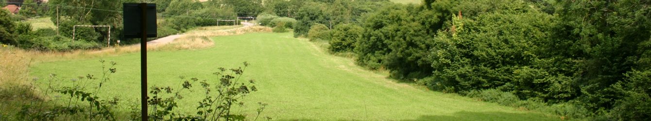
 Heading south we continued across boggy ground until we reached the golf course near Pontneddfechan. At last, solid mown grass to walk on but still visibility was low. Having been surrounded by cloud, mizzle or rain all day we were all feeling very damp when we arrived at our starting point having covered 7.5 miles and climbed 1000ft. (Map OL12). How nice it would have been to do this walk on a summer’s day, but this was mid July. What would it be like in winter?